Air
Zulu Aerial Imaging Resources (AIR)
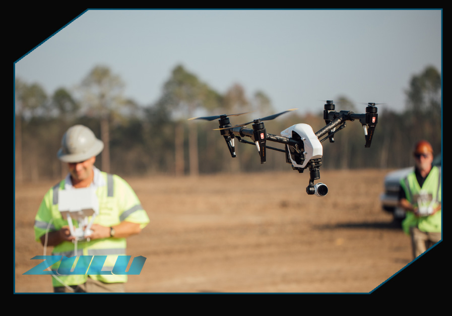
Hard to reach infrastructure, such as bridges, highway overpasses, train trestles, and powerlines, can be costly and difficult to inspect. The use of top of the line UAVs allow us to get the job done faster, more efficiently, safely and more cost effectively.
Our use of UAVs allows us to provide you with access to nearly anything – from work sites to hard-to-reach structures. Our operators are trained and FAA certified, and skilled at maneuvering the drones to get the areas and angles you need and deliver data that matters.
With this footage and the associated technology, we’re able to provide you with wide array of options to meet any need:

