Industrial Imaging and Mapping
Industrial Imaging, Inspection, & Mapping
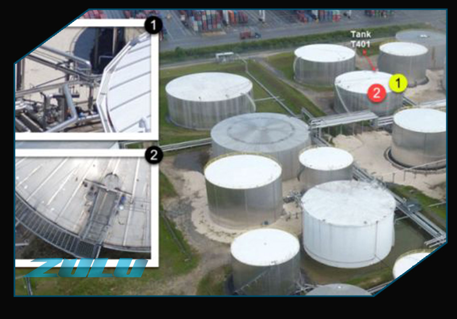
With UAV technology and supporting applications, Zulu is able to inspect and provide information for a wide array of industrial needs, to include internal and external tank views, smoke stacks, cranes, structure exteriors, and more.